 AI4Forest



We are entering a new era of precision and scale in environmental monitoring. Modern satellite constellations capture high-resolution imagery of the entire planet with unprecedented frequency, making it possible to observe forest properties that could previously only be studied at a limited number of ground plots.

Objective 01
AI-based high-resolution forest maps
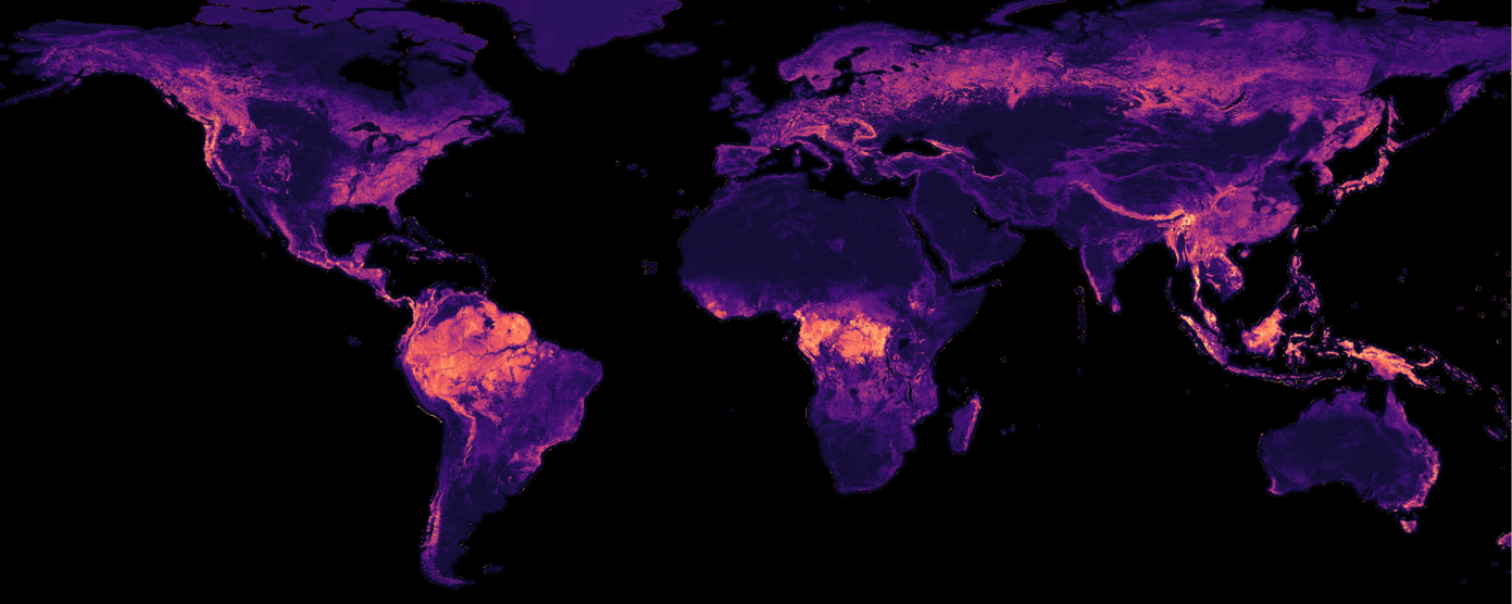
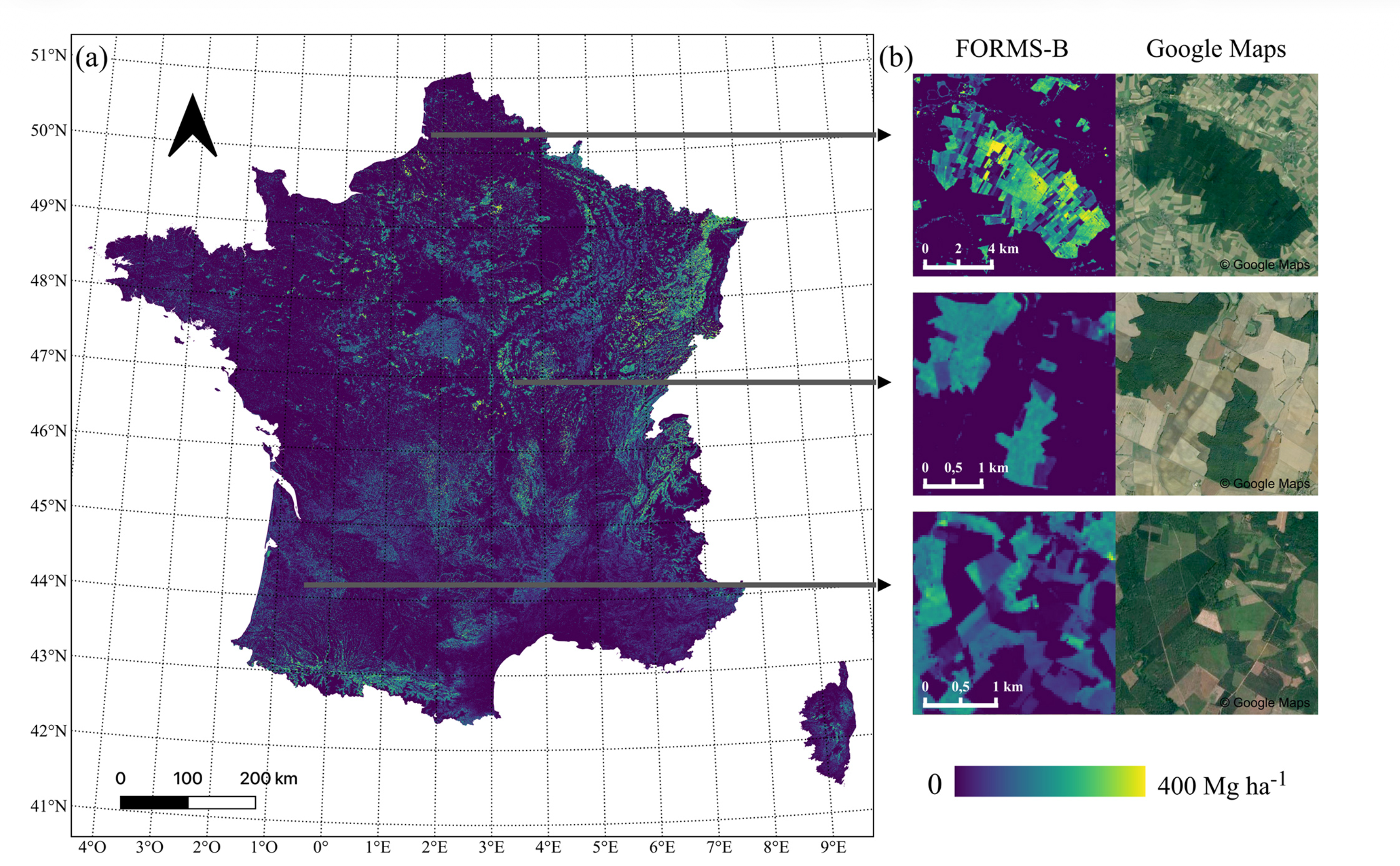
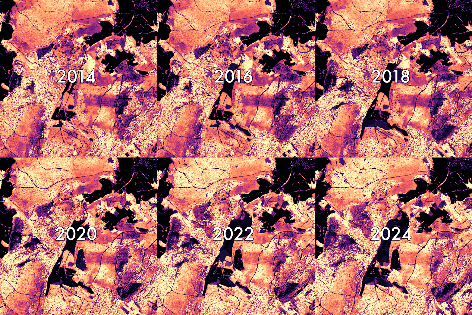
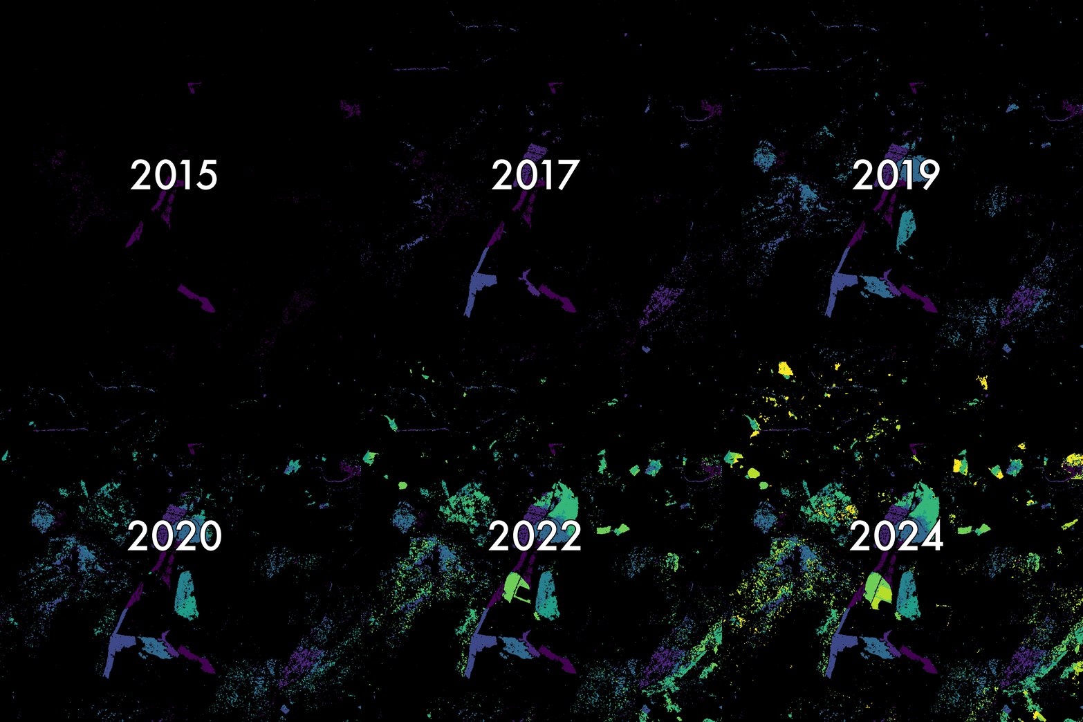
AI4Forest creates and evaluates high-accuracy maps of European forests and other major forest biomes worldwide, at spatial and temporal resolutions reaching the level of individual trees. Tree health, biomass and carbon content can be monitored monthly or even weekly. Combining spaceborne and airborne observations also helps attribute forest change to climate extremes, management decisions and policy.